038
Valldaura
Aerial Workshop
Barcelona, Spain 2015
![]()
![]()
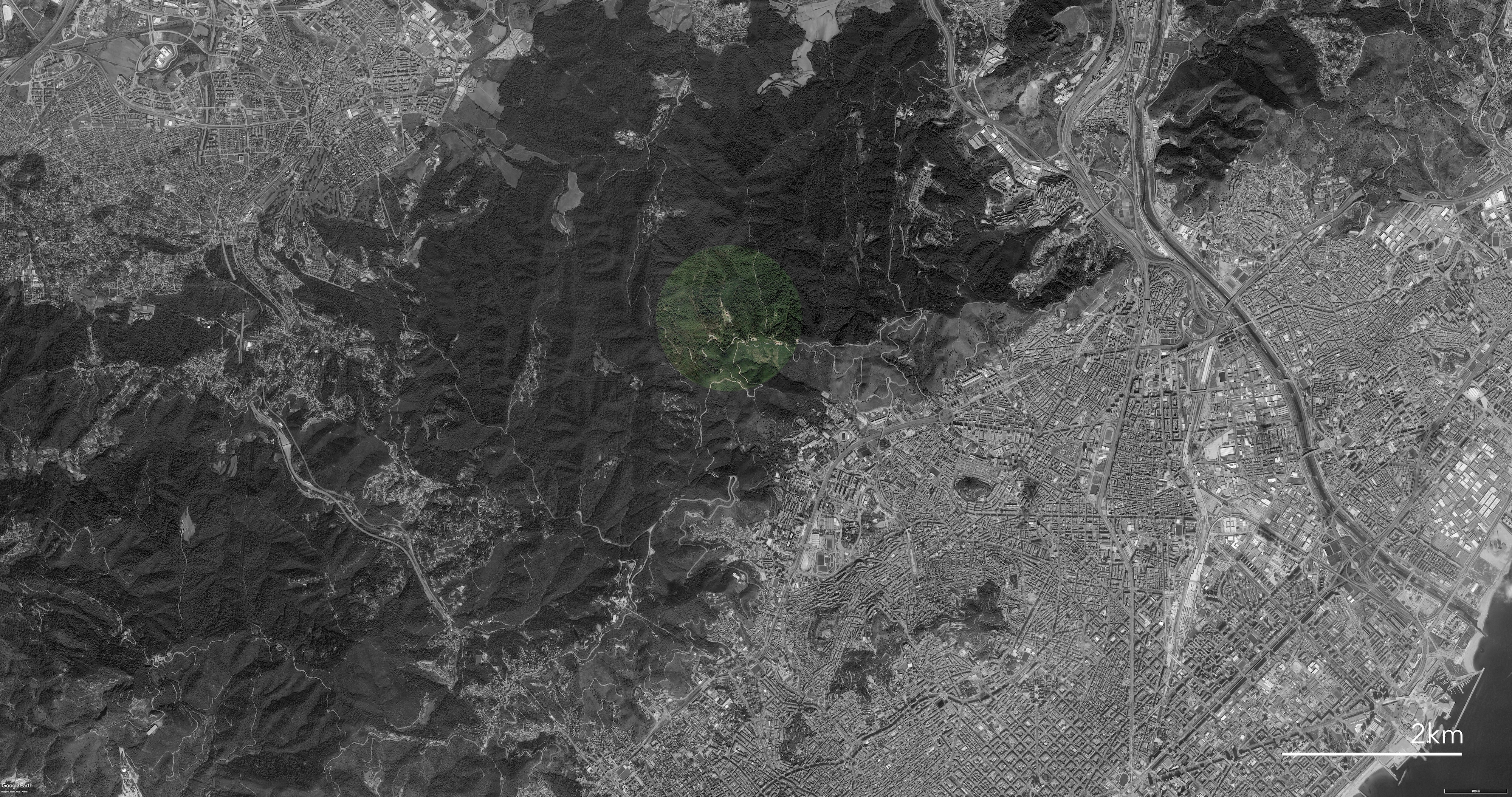
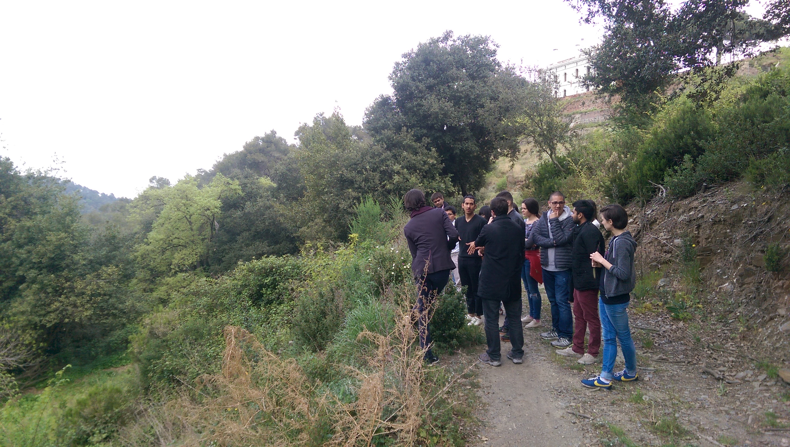
A study on the application of UAVs for the large scale landscape management of the Valldaura site, and the greater area of the Collserola park. Tested were methods such as photogrammetry for territorial analysis. The direct automation of UAV paths generated from within the design software Rhinoceros was succesfully implemented.
Aerial Workshop
Barcelona, Spain 2015
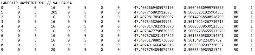
A study on the application of UAVs for the large scale landscape management of the Valldaura site, and the greater area of the Collserola park. Tested were methods such as photogrammetry for territorial analysis. The direct automation of UAV paths generated from within the design software Rhinoceros was succesfully implemented.
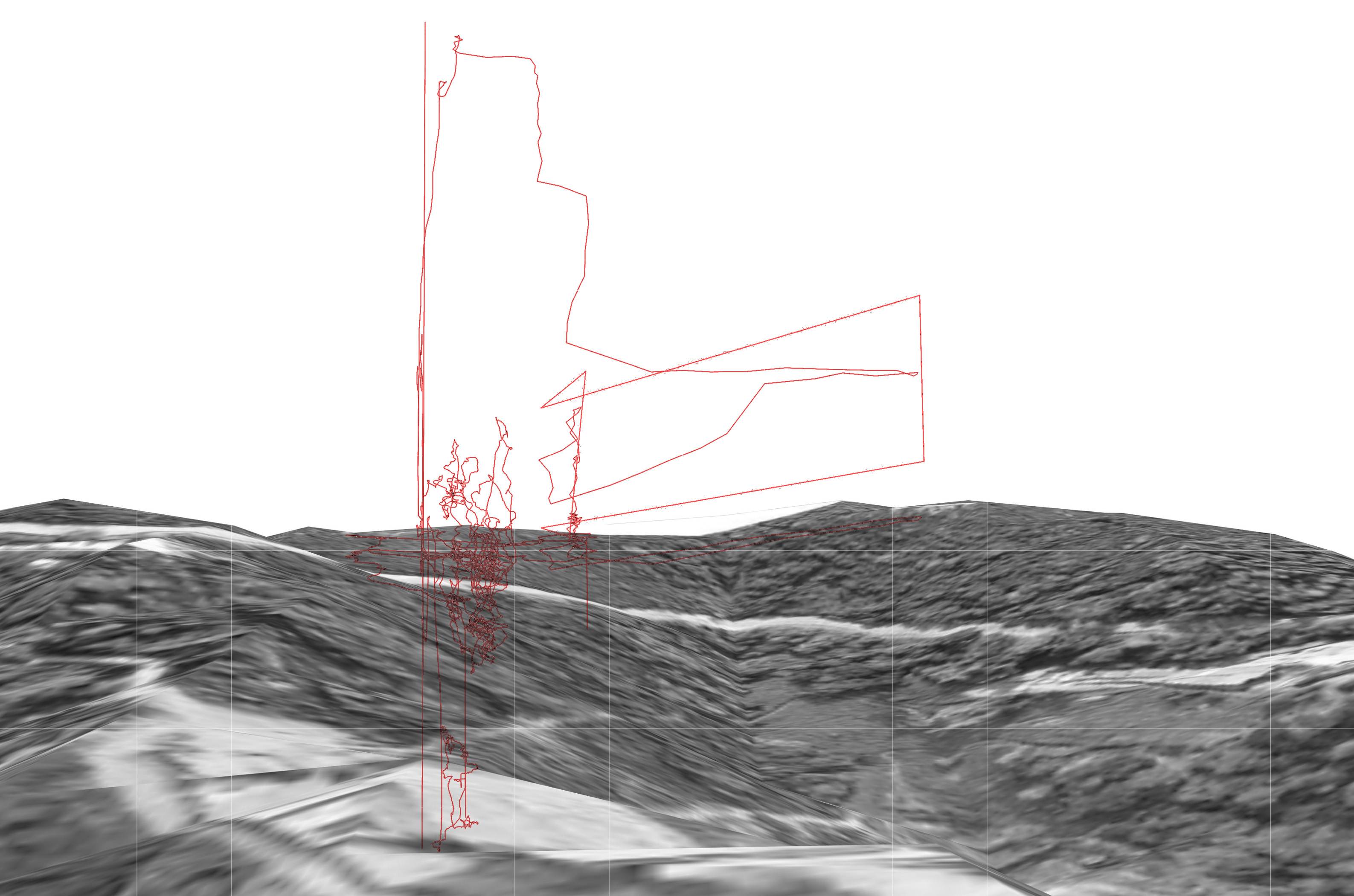
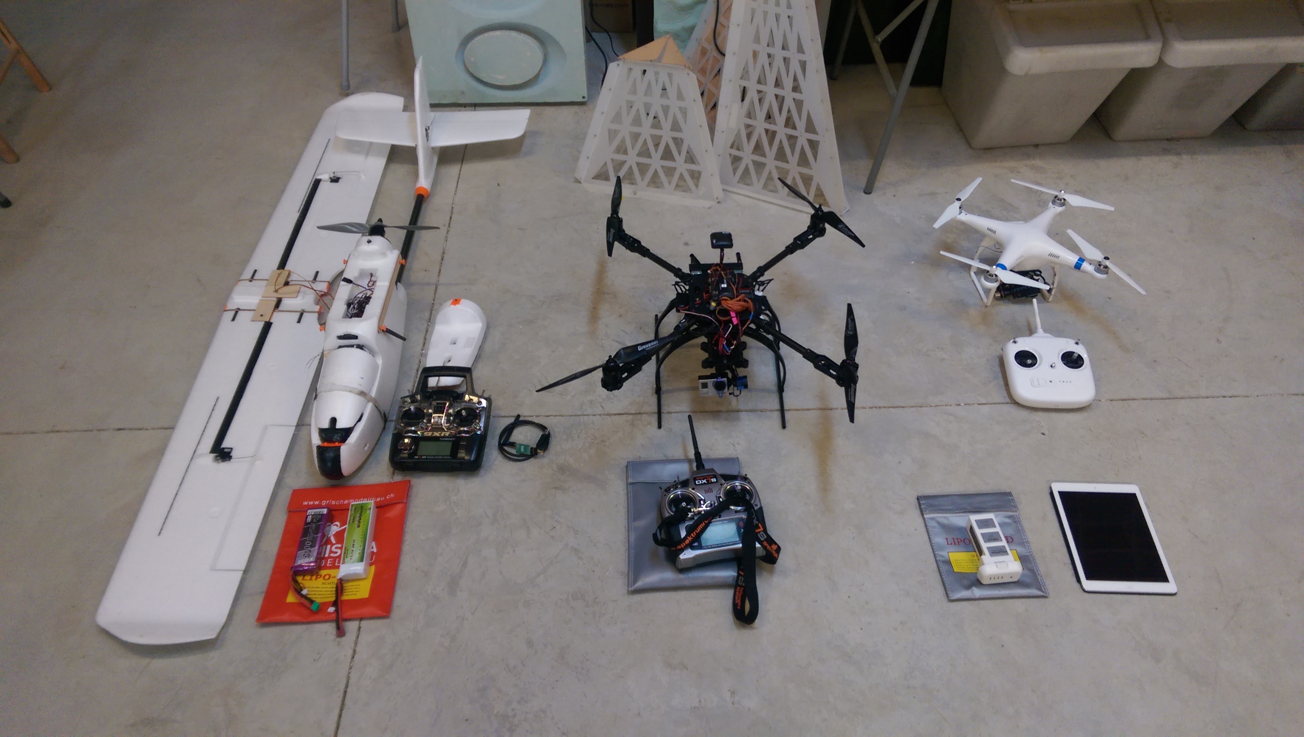
 Using aerial platforms of multicopters and fixed wing planes the site was covered both in detail around the building and at the larger scale of the site.
After the workshop, all student groups presented their work back at the IAAC in the center of Barcelona.
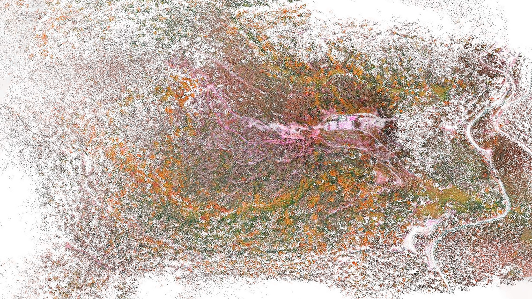
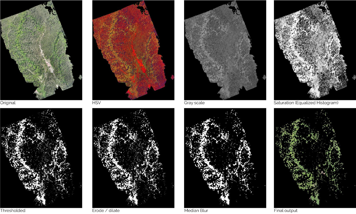 Example of a vegetation analysis, using color analysis on the point cloud to determine the tree species.
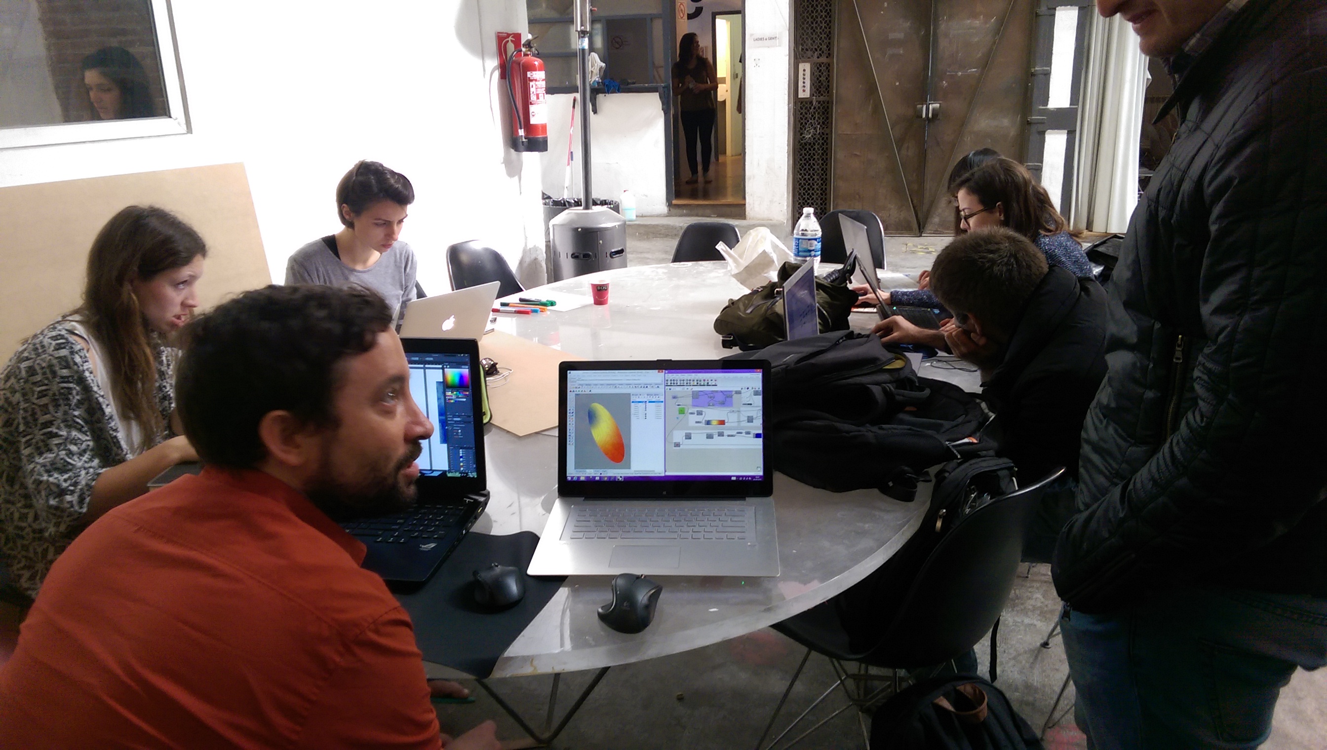


This survey was commissioned by IAAC - Institute for Advanced Architecture of Catalonia and conducted in close collaboration with Luis Fraguada of BAD - Build by Associative Data.